
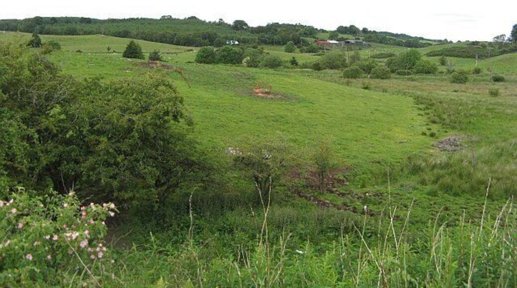
Bridge of Weir
Reiseguide


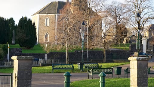
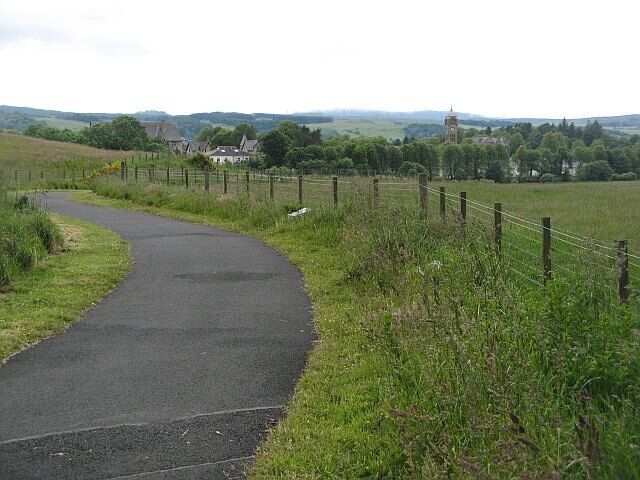
Besøk Bridge of Weir

The Social Hub Glasgow
15 Candleriggs Glasgow Scotland
Prisen er 1 099 kr per natt fra 5. juli til 6. juli
1 099 kr
5. juli–6. juli
inkludert skatter og avgifter
Du kan bo på dette hotellet under turen til Glasgow. Stedet tilbyr følgende tjenester/fasiliteter: wi-fi (inkludert), 2 restauranter og frokost (mot betaling). ...
9,4/10 Suverent! (1 763 anmeldelser)
"Koselig hotell, hyggelige personale. Husk å booke frokost dagen før da man får rabatt, om man ikke har det inkludert."
Anmeldelse skrevet 15. juni 2026

DoubleTree by Hilton Glasgow Central
36 Cambridge Street Glasgow Scotland
Prisen er 1 243 kr per natt fra 5. juli til 6. juli
1 243 kr
5. juli–6. juli
inkludert skatter og avgifter
Du kan bo på dette hotellet med fasiliteter for forretningsreisende under oppholdet i Glasgow. Stedet tilbyr følgende tjenester/fasiliteter: wi-fi (inkludert), ...
8,8/10 Utmerket! (1 480 anmeldelser)
"Nice hotel"
Anmeldelse skrevet 15. juli 2025

citizenM Glasgow
60 Renfrew Street Glasgow Scotland
Prisen er 970 kr per natt fra 5. juli til 6. juli
970 kr
5. juli–6. juli
inkludert skatter og avgifter
Du kan bo på dette hotellet i boutique-stil under oppholdet i Glasgow. Stedet tilbyr følgende tjenester/fasiliteter: wi-fi (inkludert), frokost (mot betaling) ...
Laveste pris per natt funnet de siste 24 timene, basert på et opphold på 1 natt for 2 voksne. Priser og tilgjengelighet kan endre seg. Ytterligere vilkår kan gjelde.

Fraser Suites Glasgow
1-19 Albion Street Merchant City Glasgow Scotland
Du kan bo på dette leilighetshotellet med fasiliteter for forretningsreisende under oppholdet i Glasgow. Stedet tilbyr følgende tjenester/fasiliteter: wi-fi ...

Aparthotel Adagio Glasgow Central
5 DIXON STREET Glasgow Scotland
Du kan bo på dette leilighetshotellet under turen til Glasgow. Stedet tilbyr følgende tjenester/fasiliteter: wi-fi (inkludert), frokost (mot betaling) og treningssenter. ...
9,4/10 Suverent! (1 585 anmeldelser)
"Nice apartment hotel with a good central location. Everything just outside the door, shops, restaurants, bars, public transport ... Have stayed here several times, and always happy."
Anmeldelse skrevet 28. apr. 2026

Native Glasgow
14 St Vincent Place Glasgow Scotland
Du kan bo på dette leilighetshotellet under turen til Glasgow. Stedet tilbyr følgende tjenester/fasiliteter: wi-fi (inkludert), døgnåpen resepsjon og vaskeritjenester. ...
Laveste pris per natt funnet de siste 24 timene, basert på et opphold på 1 natt for 2 voksne. Priser og tilgjengelighet kan endre seg. Ytterligere vilkår kan gjelde.
Sjekk tilgjengelighet på hoteller i Bridge of Weir


- Loch Lomond and The Trossachs nasjonalpark
- Hampden Park
- Loch Lomond
- OVO Hydro
- Buchanan Street
- Scottish Exhibition and Conference Centre
- University of Glasgow
- Merchant City
- Bellahouston Park
- George Square
- Celtic Park
- Glasgow Royal Concert Hall
- Braehead arena
- Barrowland Ballroom
- Sauchiehall Street
- Braehead kjøpesenter
- Ibrox Stadium
- Kings teater i Glasgow
- Kelvingrove Art Gallery and Museum
- Botanisk hage
- Balloch Castle
- Queen's Park
- Bothwell Castle
- Bredden av Loch Lomond
- Glasgow Science Centre
- Kelvingrove Park
- Clyde Auditorium
- Buchanan gallerier
- Queen Elizabeth University Hospital

