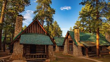
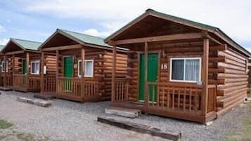
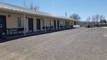
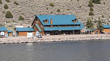
Ting å gjøre i Alton
Alton, Utah, tilbyr en herlig flukt for friluftsentusiaster, med spennende eventyr og fantastisk natur. Besøkende kan nyte aktiviteter som ski på lokale skianlegg, utforske rekreasjonsområder og dra på sightseeingturer. Med lokale attraksjoner som golfresorter og ulike campingmuligheter, er Alton perfekt for de som søker både avslapning og eventyr i pittoreske omgivelser.
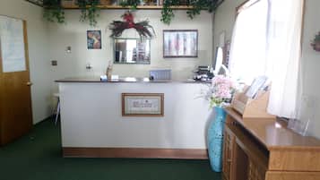
Shopping
Den nærmeste shoppingopplevelsen er på de lokale markedene, hvor du kan finne unikt håndverk og suvenirer. Hvis du er klar for en kjøretur, besøk Cedar City Town Center, omtrent 48,3 km unna, med en rekke butikker, inkludert moteforhandlere og gavebutikker.
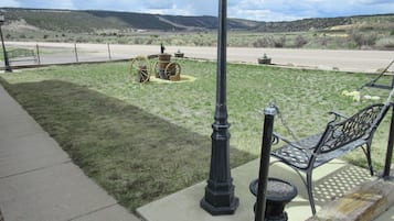
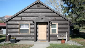
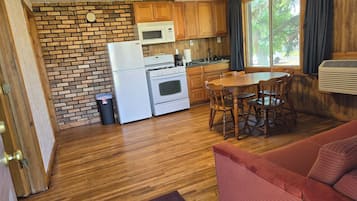
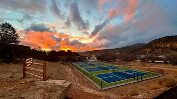
Rekreasjon
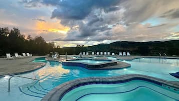
Alton Wellness Retreat tilbyr rolige omgivelser og holistiske terapier, perfekt for avslapning og foryngelse. Nyt yogatimer, meditasjon og spa-behandlinger midt i fantastiske naturlandskap. For utendørs moro, utforsk nærliggende turstier, fiskesteder og betagende utsikt, og sørg for en tilfredsstillende blanding av velvære og eventyr.
Eventyr
Utforsk de betagende landskapene i Zion National Park, hvor turstier som Angels Landing tilbyr fantastisk utsikt og spennende høyder. For en unik opplevelse, prøv canyoneering i slot-canyonene, naviger gjennom smale passasjer og levende fjellformasjoner som vil etterlate deg i ærefrykt.
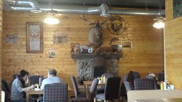
Natteliv
I Alton tilbyr den lokale pubscenen en sjarmerende atmosfære med levende musikk og vennlig prat. De nærliggende byene har sjarmerende barer og restauranter, perfekt for en avslappet kveld. Gå ikke glipp av de sporadiske utendørsarrangementene som viser frem lokale talenter under stjernene.
*Avstander er målt i en rett linje; faktiske kjøreavstander kan variere avhengig av ruten.